June 27, 2015

Can't Go Home Again

As I made my way through Germany, Austria, and Switzerland over the past few weeks, I always found a church to light a candle in memory of Mom. She would have liked that.

Now it's time for one last visit to Mom's house, to help with sorting and sifting through the things she collected and treasured over a lifetime.

The finality is inescapable.

She downsized some 18 years ago, and I had not visited our old neighborhood since. Seeing our former home was as disheartening as I expected. The lawn and landscaping had been ripped out. The canopy of the once-towering silver maple tree had been lopped off, four feet of the dead trunk left standing.

On the spur of a moment, I visited the cemetery. Crabgrass has taken hold on the patch of bare earth above her.

Later, I honored our routine with Manhattan clam chowder for supper, tea and a black-and-white cookie. (Two delicacies uncommon on the West Coast.)

How I'd dreaded the day I would face this process: what to keep, what to toss, what to surrender forever to strangers in an estate sale. I think she'd be disappointed in my choices, for the things of highest value to me are sentimental.

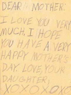
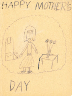
Front of hand-drawn card, Happy Mother's Day.
I found a Mother's Day card I'd drawn for her, in pencil, maybe around age seven. The paper is folded in fourths, just so, like a regular greeting card.

Inside of hand-drawn card. "Dear Mother: I love you very much. I hope you have a very happy Mother's Day. Love, Your Daughter. XOXOXOXO"
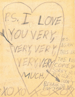
But it's the P.P.S. that makes the card:

Inside of hand-drawn Mother's Day card: "P.S. I love you very, very, very, very, very much. XOXOXOXOX"
P.S. AGAIN
THIS IS THE RUFF COPIE.
I'M SORRY, BUT OUR CLASS DIDN'T BEHAVE.
SO WE DIDN'T HAVE ART.
I browsed through the albums she'd filled with photos and postcards from trips she'd taken with her friends. Lined up together on a bookshelf, it was sad to know that she hadn't opened them in years. I wish I'd pulled them out during a visit and helped her relive those moments.

Dad's been gone for 30 years, and it took some time for her to weather that loss. I found two newspaper clippings, carefully preserved: essays by widows on the topic of living alone. “Women can learn to like living alone,” published about two years after he died. “Gathering the courage to live your life” ... published 20 years after he died.

She didn't share her thoughts or feelings with me, and she didn't keep a journal. It broke my heart when I found two longer entries in her “birthday book,” a special datebook where she recorded the birth (and death) dates of friends and family:
My husband who I loved more than anyone else died at 9:00 PM, Age 58
Three days later:
Hon - Laid to rest as I watched with a broken heart and all my love.
She's gone, and I feel like I didn't fully know her.

Hers was always a world of worry. In the kitchen, where she would see it throughout the day, she had hung a framed quote I'd given her (attributed to Mark Twain):
I've had many problems in my life,
most of which have never happened.
“Be careful,” she'd tell me at the end of every phone call. “Be safe.”

Wish you were here, Mom.

June 22, 2015

Au Revoir, Switzerland

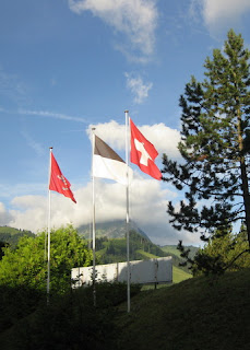
Swiss flag outside the hotel in Gruyères, Switzerland
The rest of the group will cycle on without me for another week, as it's time for me to head back to the U.S. I'll miss the legendary cheese and chocolate; family obligations must prevail.

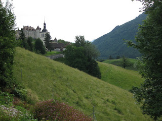
View of the church and château from the hotel in Gruyères, Switzerland
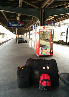
One of these days I'll post something about how (and what) to pack for a cycling trip. As you can see, I was traveling pretty light. The surprise hit for this trip was a 22-inch Dakine roller bag that I picked up at the last minute, wanting just a wee bit more room than my old Delsey carry-on. On a plane, that bag used to fit under the seat in front of me; now, its protruding handle makes it too long to be carried on at all. And these days you can barely fit a handbag under the seat in front of you.

Bike bag, suitcase, and backpack on the train platform in Fribourg, Switzerland
Switzerland is the most beautiful country I've visited. I'm partial to rolling green hills and craggy peaks, waterfalls and wildflowers. And, of course, great chocolate.

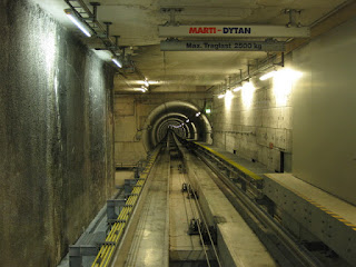
Inter-terminal train tunnel at Zürich International Airport, Switzerland
Till next time ...

June 21, 2015

Gruyères

Another day to be on our way. Another ... rainy day.

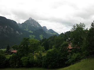
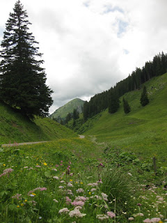
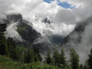
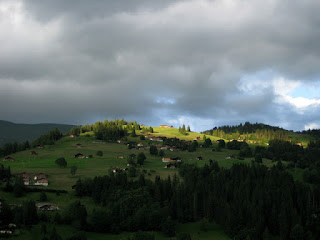
Green hills and distant cloudy peaks near St. Stephan, Switzerland
Just as there were different philosophies of navigation among the members of our group, there were different attitudes about the weather.

The hardy contingent, indifferent to the conditions, were the first to depart. Just suit up and ride.

Next were the ones who preferred to look outside. “It's stopped raining, let's go!” [They got wet.]

Then there were the ones who looked at the forecast on their smartphones. “It will stop raining by 9:30 a.m., we'll leave then.” [They were delayed.]

And there was pep, who likes the animated weather map on her phone. “After that next band of showers, we'll be good to go.” [For those who waited with me, only the roads were wet.]

This being a Sunday, there was very little traffic. It also meant that most businesses were closed, including cafés.

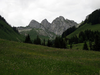
Wildflower meadow with distant craggy peaks, Switzerland
For the last ride of my trip, I was all for a scenic route. With some hills, of course.

There was one minor problem with that: The bike was balking at shifting into my granny gear. And when the going gets steep, I shift. Down. All the way down.

Assorted wildflowers blooming near a creek bed below the road near Jaun, Switzerland
There was one tricky turn that our host worried we would miss. He pointed at the map; there was a distinctive hairpin outside of Saanen, which (if we saw it) meant that we had gone too far. I found the spot on Google Maps and zoomed in, switching to satellite mode. “Ah,” I said. “Before the turn, there is a hotel on the left. There are diagonal lines painted in the center of the road. Shortly after that, there will be more diagonal lines in the median, and that's where we turn right onto the Unterbortstrasse.” When we got there, it was clear. “Next turn,“ I called out, signaling to the right.

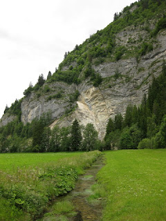
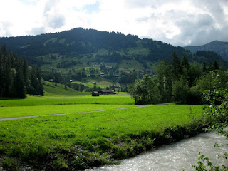
Creek flowing through the valley near granite hillside near La Tsintre, Switzerland
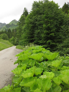
Our route took us along some isolated roads, skirting the edge of the Gruyère Pays-d’Enhaut Regional Nature Park as we moved east into the French-speaking area of Switzerland. We enjoyed a narrow winding road alongside a stream, Le Ruisseau des Fenils. The banks were edged with a plant whose leaves were enormous—bigger than my head. Bigger than a bicycle wheel.

Plant with gigantic leaves along the banks of Le Ruisseau des Fenils, Switzerland
The long grade was a slow uphill grind without my lowest gears, but it was doable. To a point. Periodically I would tap the lever for the recalcitrant shifter, to no avail.

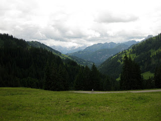
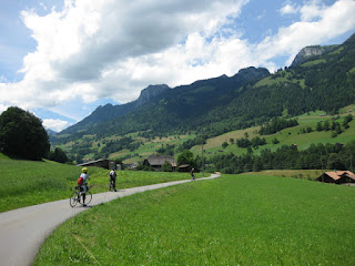
Cyclist on the road below a steep climb, viewed across a meadow, Switzerland
Then, finally, it clicked into place. Oh, the joy! Just in time, for soon the climb got steep. If that's not clear to your legs and lungs, it's clear to your eyes when you meet local cyclists training on it. A strong woman cruised past me with apparent ease, but it wasn't long before I caught sight of her again ... walking. It turns out that the grade was >10% for a couple of miles.

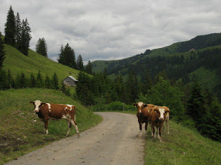
Free roaming cattle on the road, Switzerland
The road over the last summit passed through fields where cattle were free to roam; “Bovi Stop” signs were placed near the cattle guards. As a few started across the road, saw me approaching from one side and a car approaching from the other ... what would they do? They looked nervous. I stopped and waited for them to sort themselves out.

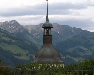
Top of the bell tower, Église Saint-Théodule, Gruyères, Switzerland
Our hotel in Gruyères was at the edge of the old town. Here's the thing: the oldest parts of European towns are typically on a hill, the better to defend against unwanted visitors long ago. “Yes,” I assured the others; “we go up.”

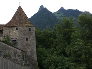
Tower and wall of the Château de Gruyères, Gruyères, Switzerland
After dinner, we strolled through the town and around the outside of its 13th-century château. I was told it would be a travesty to say I'd visited Gruyères and not had double cream, so I joined my hosts for a bowl of framboises à la crème double. [Mmm.] And well earned, after climbing 4,000 feet over 42 miles.

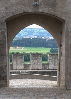
View of the valley through an opening in the wall of the old town, Gruyères, Switzerland

June 20, 2015

AlpRundweg Leiterli / Simmenfälle

Everybody was ready for a rest day. Which, of course, means: Let's go hiking!

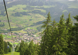
View of Lenk from the Lenk - Stoss gondola, Lenk, Switzerland
With summertime passes for the ski gondolas, we headed for the top of the mountain. I was so distracted by the world around me that I was halfway through our hike before I remembered to start recording a track; and later, I was already heading down on the gondola when I remembered to stop recording.

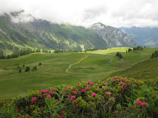
AlpRundweg Leiterli trail through meadow, with mountain roses and nearby peaks, Lenk, Switzerland
As if the wildflowers and mountain peaks were not enough, a few added features brought smiles.

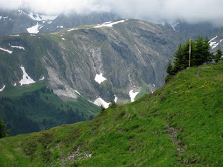
Patches of snow on nearby cliffs, AlpRundweg Leiterli trail, Lenk, Switzerland
On a lift tower near the top, strikers were mounted to play a tune whenever cowbells (attached to the cable) came by. [Clever.]

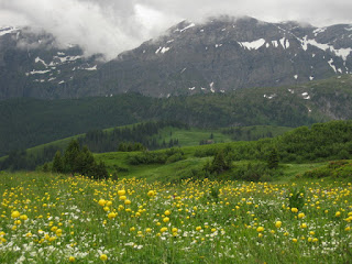
White and yellow wildflowers in a meadow along the AlpRundweg Leiterli trail, with snow-streaked mountains, Lenk, Switzerland
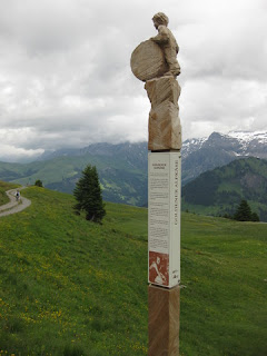
Hand-carved posts were placed at intervals along the AlpRundweg Leiterli trail, each depicting a local activity and telling a story.

Carved post along the AlpRundweg Leiterli trail, Lenk, Switzerland
After lunch, and (you guessed it) another lovely pastry, I wandered about Lenk. If I'd had a plan, it wouldn't have included retiring to my hotel room.

River Simme flowing toward Lenk, Switzerland.
The River Simme runs through town, with a wanderweg alongside. I started walking upstream, toward the mountains. A trail sign pointed toward Simmenfälle, which I recognized would be a waterfall. With an eye on the time, I kept hiking. As with many trail signs here, no distance was given.

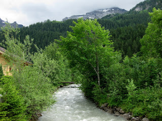
Fast-flowing River Simme, heading upstream toward the mountains, Lenk, Switzerland
I followed a Helsana trail, sometimes crossing the river, noting landmarks to guide my return trip. One kilometer from the falls, a sign finally revealed the distance.

View of the Simmenfälle between the trees, mountain peak in the distance, near Lenk, Switzerland
I know it's the age of the selfie (and the obnoxious “selfie stick”), but I'm of the generation that would rather engage with my fellow humans. “Would you like a photo, together?” I asked. [Of course!] Mom, dad, toddler, and the dog in front of the waterfall. In exchange, the family happily returned the favor.

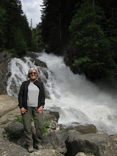
pep at the Simmenfälle, near Lenk, Switzerland
My afternoon hike was longer than the morning's, some six miles along the river. With time to appreciate the wildflowers, I returned in time for dinner.

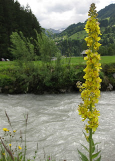
Tall stalk with yellow wildflowers on the banks of the River Simme, Lenk, Switzerland

June 19, 2015

Lenk im Simmental

Sometimes there is no Plan B.

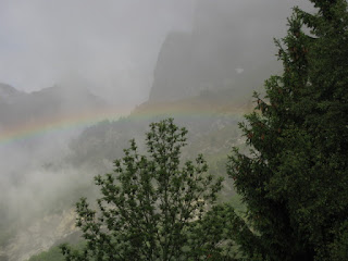
Rainbow in low clouds, Leukerbad, Switzerland
Our next destination, Lenk im Simmental, was on the other side of the mountains; the shortest route is actually by bicycle—about 34 miles, but with more than 5,000 feet of climbing. Our chosen path was more mellow—about 54 miles, with an estimated 3,500 feet of climbing. By car, 100 miles. By train? Complicated.

Plan A was to ride up to the Gemmipass in a cablecar with our bicycles, bike along the unpaved-but-packed trail along the ridge, and then ride another cablecar down a different slope to start our journey on the road. On a clear day, the views would be unrivaled.

So it was not good that the top of the mountain was hiding in the clouds, and less good that it was, in fact, raining.

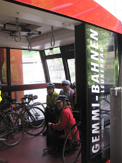
Cycles and cyclists loaded into the Gemmi-Bahnen, Leukerbad, Switzerland
We waited a bit, perhaps for the weather to improve, perhaps while our host explored alternative options. Then we biked over to the Gemmi-Bahnen, where the operators gave us a quizzical look. Were these folks, with their road bikes, really going up in the cablecar ... in the rain? I imagine they expected us to return in short order.

Especially since they knew more about the conditions at the top than we did.

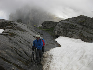
Cyclists walking bikes along the gravel path between rocks and snow, Gemmipass, Switzerland
The gravel trail was mostly exposed, often single track ... through snowfields.

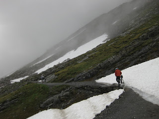
Cyclists traversing the gravel path next to snowbanks, Gemmipass, Switzerland
Today would be pep's introduction to mountain biking (without the mountain bike).

We knew that some of this trail would not be rideable on our bikes, and that we would hike short distances. I normally wear mountain biking shoes (with recessed cleats, and some tread) for ease of walking—indispensable, today.

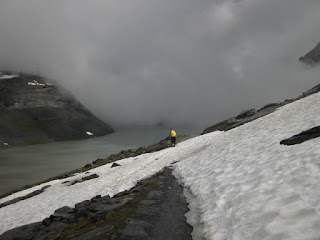
Cyclist traversing snowfield along the Gemmipass, Switzerland
Apprehensive at first, hiking seemed wiser to me than biking. But biking, of course, is faster.

Tentatively, I made my way along the path. When the exposed trail was a series of large stone blocks, I guessed that we were really traversing the top of a wall; snow filled in the slope below us. I dismounted and walked; little margin for error, there.

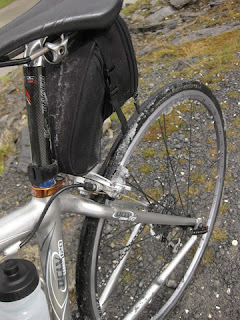
Snow on rear brakes and wheel, Gemmipass, Switzerland
Gravel and snow and mud ... oh my! A fellow rider coached me. “Slide back off the saddle, more weight over the back wheel.” His wife darted ahead, her mountain biking skills evident.

Gravel path with rocks and flowers, Gemmipass, Switzerland
When I stopped to snap a photo near the Daubensee, one of our riders suddenly realized that he no longer had his camera. [Note to fellow aficionados: offload vacation photos from your camera's storage daily.] He backtracked, but didn't find it.

Patch of blue sky and puffy clouds along the path to the Sunnbüel cablecar, Gemmipass, Switzerland
This being Switzerland, the story of the lost camera has a happy ending. He had spoken to some hikers on the trail, who miraculously found—and forwarded—the camera. Too bad they didn't snap a photo of themselves, for posterity.

Hotel Schwarenbach exterior, Gemmipass, Switzerland
We regrouped at the Berghotel Schwarenbach, once visited by Mark Twain, where a hot cup of tea and a pastry were most welcome. When we reached the cablecar at Sunnbüel, we had traversed more than five miles along the ridge.

Gravel path continues through an open meadow with flowers, nearby peak with snow and clouds, Gemmipass, Switzerland
From the snowfields to the tropics, our next destination was the town of Frutigen, where we would meet for lunch at the Tropenhaus. “Just follow the signs,” our host told us, as he stayed back with a trailing rider.

Low clouds scattered across nearby peaks at the top of the Sunnbüel-bahn, Gemmipass, Switzerland
We rolled into town; there were no signs, we had no address, and none of us remembered the name of the place. I pulled out my smartphone. It seemed like a long shot, but what the heck. “OK, Google,” I said. “Where is the tropical restaurant in Frutigen?” Up came a listing for the place, along with the address and its location on the map. I was certain that “Frutigen” would not be understood, and here I was presented with an arrow for turn-by-turn navigation details. It's magic, essentially.

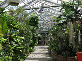
Tropical greenery at the Tropenhaus, Frutigen, Switzerland
With most of our route ahead of us, we were not eager to linger over lunch. There were some differences of opinion about the route we should follow; the shortest route entailed more climbing than any of us wanted. The group split, then came back together before two riders decided to rely on their Garmin for an alternative route.

Cyclists along a rural road, with blue skies and puffy clouds over the hills, en route to Lenk im Simmental, Switzerland
On an unpaved trail through some fields, I misjudged a patch of gravel. Deeper than I expected, it grabbed at my front wheel. I went down hard. Rattled, but only scraped, I stayed on the roads after that.

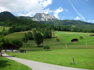
Pastoral view with distant rock face, en route to Lenk im Simmental, Switzerland
By the time I got to our hotel, I was one tired puppy. The first part of our journey on the Gemmipass took one hour and 45 minutes; the second part, on the road, five hours and 15 minutes. I can only estimate our climbing for the day, as my bike computer had decided to go on strike. Two apps running on my smartphone have reported vastly different elevation gains for the same routes throughout this trip: for example, 4,456 feet and 3,206 feet for the second part of our route. The estimate at GPSies: 3,493 feet. For the day, we biked some 54 miles.

View of green hills and distant snow-streaked peak from pep's hotel room, Lenk im Simmental, Switzerland
We checked in and got cleaned up. Besides the view, my room had a balcony complete with flowers and a fold-down rack where I hung my laundry to dry.

Sun highlights one hilltop before sunset, view from pep's hotel room, Lenk im Simmental, Switzerland
Those two riders who had gone their own way? Missing.

The call came during dinner, and our co-host left to retrieve them. Two more tired puppies.

What a day!
June 18, 2015

Furkapass


View to the east of the road climbing up the Furkapass near Realp, Switzerland
The group splintered today.

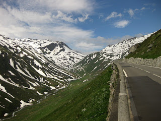
Road and snow-streaked mountains approaching the Furkapass from the east, Switzerland
One choice was to get a ride to the top of the first climb. [Unthinkable.]

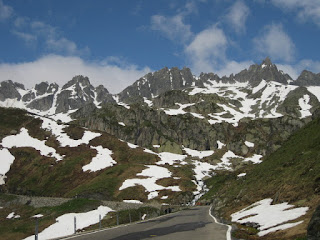
Snow-streaked rock walls along the road to the Furkapass from the east, Switzerland
Another choice was to go the distance. [Perhaps a bit much, at my pace.]

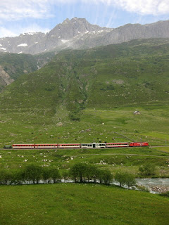
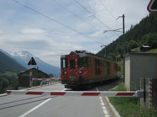
Red Swiss train crossing along the valley floor near Hospental, Switzerland
The route included some flat meandering through a valley, book-ended by challenging climbs. I studied the map and the train schedule, and hatched a plan. About halfway along the route, I would hop on a train and cut out some 30 miles, disembarking in the town at the base of the climb to our hotel.

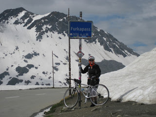
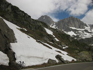
pep and bicycle at the summit of the Furkapass, alongside snow banks, Switzerland
I was on my own, for a lovely, leisurely, long climb up to the summit of the Furkapass, which tops out at 7,976 feet.

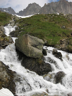
Waterfall near the road to the Furkapass, Switzerland
I could stop whenever I wanted.

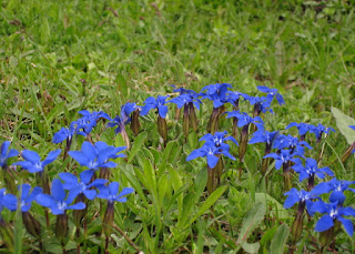
Gentian flowers along the road to the Furkapass, approaching from the east, Switzerland
I could stop wherever I wanted.

Bicycle parked against a snowbank near the summit of the Furkapass, eastern side, Switzerland
I could stop as often as I wanted.

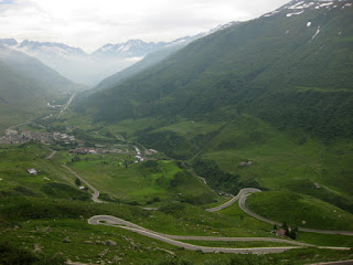
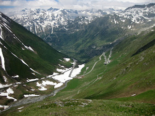
View of the hairpins on the road descending the western side of the Furkapass, Switzerland
(And I did.)

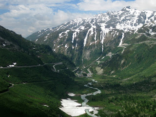
Rhône river flowing through the valley, descending western side of the Furkapass, Switzerland
But I did need to keep making forward progress.

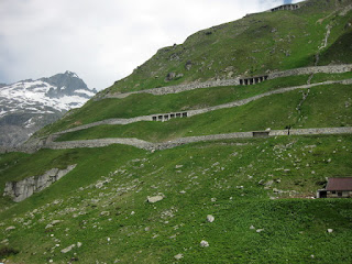
View of the hairpins on the western side of the Furkapass from below, Switzerland
I was banking on making good time on the descent.

Stopped for a train crossing the road, near Niederwald, Switzerland
The train from Fiesch to Leuk was not direct, but I managed to do the right thing. When I saw a horde of children and bicycles waiting for the connecting train, I made a dash for a less populated bike car.

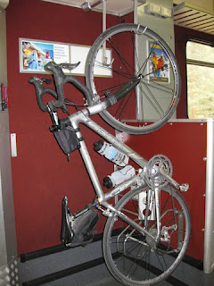
pep's bike suspended in a bike car on a Swiss train.
I was starting to roll out of the station when ... was that someone calling my name? Yes! There were two of the riders from our group, waiting for a lift to the top. It was ambiguous whether that would be by bus or our host's car and trailer, but I was having none of that.
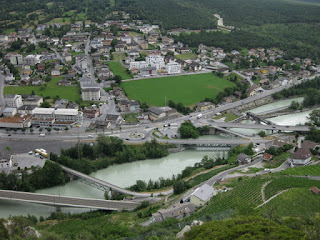
View of Leuk from the climb to Leukerbad, Switzerland
There were more surprises in store. First, one of the riders decided to join me, having regretted that he'd bailed on the Oberalppass. Second, the route went steeply up the hill at the start. And I do mean steeply. Luckily, it mellowed out after that. Third, I wasn't expecting a 10-mile climb (but that's what it was). Clearly I didn't study the route profile.

The climb must be popular with the locals. A strong cyclist caught me on the outskirts of Leukerbad, offering a friendly Ciao! Rain started coming down hard (surprise number four), and he turned back.

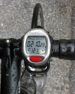
Raindops on bike computer, 2,320 ft. of ascent; 2 hours, 10 minutes, 23 seconds of time; heart rate 121 bpm.
Rather a lot of cycling today. The first part of my journey was 39 miles, with some 3,583 feet of climbing; the second climb, 10 miles and 2,320 feet. In other words, 49 miles and more than 5,900 feet of climbing.

I found the hotel. Most importantly, I made it to the dinner table on time.