I caught up with the group at a roundabout, where they had stopped at a salon de thé. I chose a juicy pear galette, and surprised myself by requesting une serviette. With my pathetically limited vocabulary, how did I remember that word?
At this crossroads, the group was divided. Some wished to follow the planned route, along D62; others wanted to cut it short, following the more direct D82. One rider pointed authoritatively toward another road (D5), saying that was the way to follow the long route. A glance at the map showed a turn from D5 onto D62.
I exited the roundabout straight onto D62. Thinking I had mistakenly followed the "direct route" riders, I turned back and chose D5. I should have (but did not) study my map.

I did not study my map.
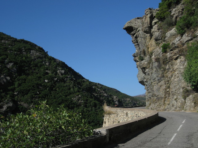
D5 followed the ridge line, heading ever-so-gently toward a summit. The wide vistas were stunning. I paused to let a small herd of shaggy sheep pass, as they headed for an opening in the fence along the road. The large and vocal males were in charge; the rest trotted dutifully along. Unlike me, they knew where they were going.
At the top, I found an elderly couple enjoying a picnic—complete with table and chairs. They were eager to offer me some water, and happily snapped a photo of me when I asked. They heralded the descent ahead; I replied that I loved descents.

At this point, I was about seven miles off-course. And downhill, having summited at the Col de Bigorno.
Uh-oh.

According to my excellent IGN map (No. 175), I was looking for D162. Back at the church, I was convinced I was standing at the intersection—but there were no signs.
There was, however, a middle-aged French couple picnicking (you guessed it, with table and chairs) under a tree. "Bonjour, excusez-moi," I approached them. I pointed to the map, and to the various roads. "Ici?" They confirmed my hunch. "Merci, merci beaucoup!"
Having learned my lesson, at each subsequent intersection I studied the map for good measure. I rolled into St. Florent before anyone got seriously worried. My route covered about 52 miles, with some 4,720 feet of climbing.
A day to practice orienteering, to be forced to communicate in French (however primitively), to be self-reliant.
I am glad I got lost.


No comments:
Post a Comment