“Don't Frack San Benito,” the sign read. I couldn't agree more.
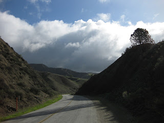
Our well-timed ride was slotted between a pair of storms, giving us dramatic lighting and clean air.
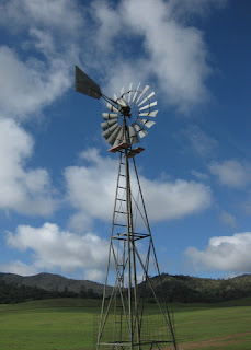
The Aermotor was spinning fast at the Summit Ranch. With a dual assist from gravity and the wind, I plummeted down the backside toward the Inn.
Another rider thought the road had more patches. “How could you tell?” I asked. It's best to ride that stretch with a light grip on the handlebars—or wind up with an aching head and some loose fillings.
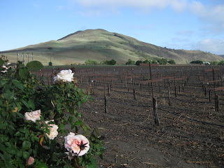
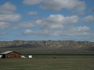
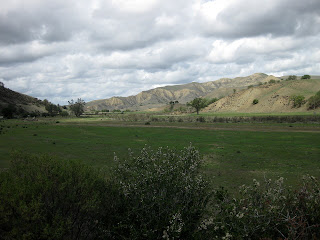
Look at that view! Look at it again. Picture it paved with solar panels, because that is the future for this land—some 4,000 acres of solar panels and power lines.
More than 20 miles out on Panoche Road, an approaching car slowed to a stop. A wayward European visitor was looking for the National Park (Pinnacles). I set him straight.
The wind is a constant. You can count on a headwind for the return; on unlucky days, there can be a headwind in both directions. Which means more time to admire the scenery.
A mere 2,750 feet of climbing, with 54 miles of scenery.
Enjoy it now.
March 30, 2014
Subscribe to:
Post Comments (Atom)



No comments:
Post a Comment